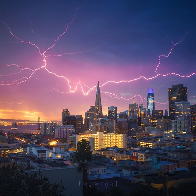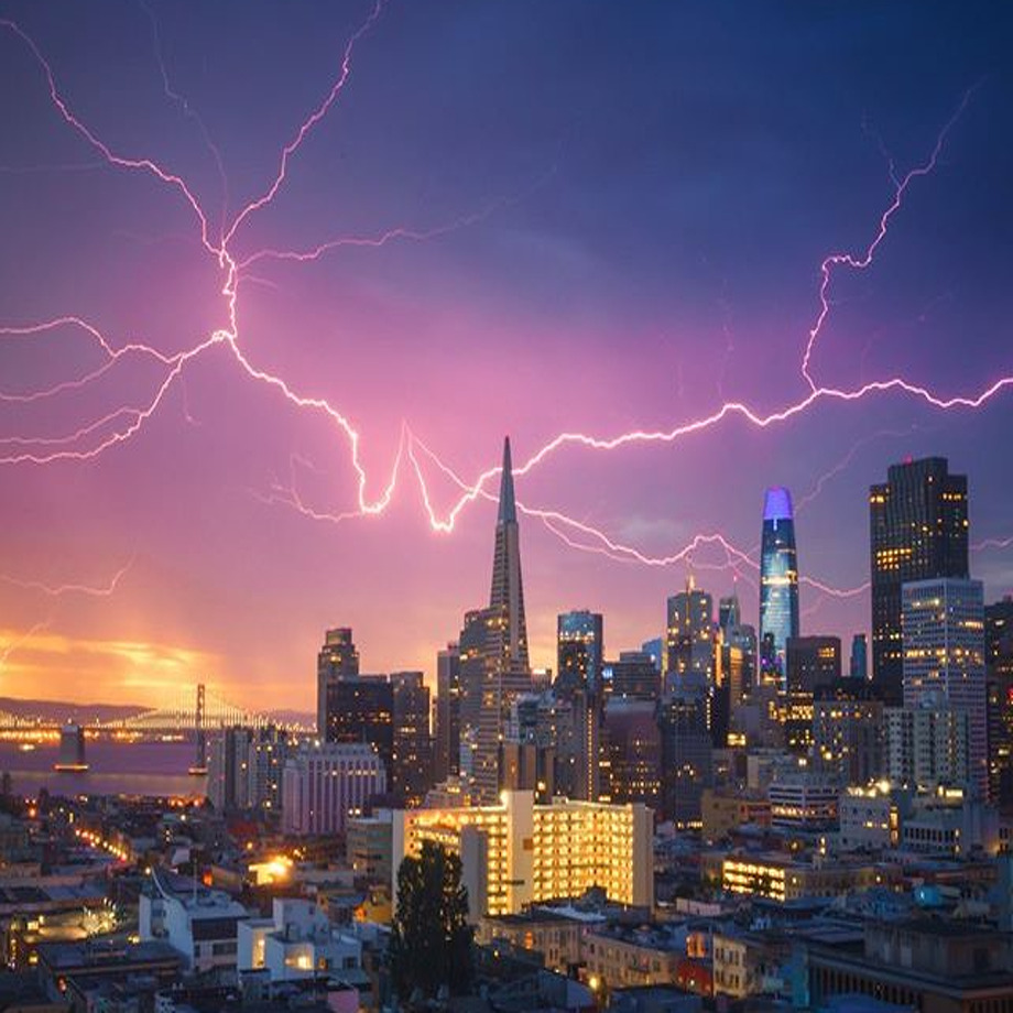
At a time when massive fires sparked by thunderstorms are burning around the Bay Area, more lightning has entered the forecast, though weather officials said this event is unlikely to be as severe as the one last Sunday.
A surge of moisture from what will be the remnants of a tropical system called Genevieve is expected to move northward and bring a slight chance of storms to the Bay Area Sunday night and into Monday morning.
National Weather Service forecaster Roger Gass said dry lightning is more likely than rainfall with this event, and the chances currently stand at about 15% for the greater Bay Area.
"Right now we’re concerned for the whole area, but as we get closer to the event, that’s when we can fine tune the forecast with areas that are most likely to have more concern," Gass said. "These types of situation can vary. Sometimes these storms stay off the coast, but any strikes that were to occur over land and especially over dry areas would be of concern right now."
On Sunday and Monday, an unusual weather setup for summer brought nearly 12,000 lightning strikes to California in 72 hours, sparking more than 500 wildfires, with about two dozen of those being massive conflagrations. The acreage of all the fires currently burning in California is 771,000, encompassing an area larger than the state of Rhode Island, Cal Fire said Friday.
Gass said the thunderstorm forecast for this weekend does not look as extreme as the recent historic event.
"We’re not seeing the same setup but the moisture is still expected to move northward," he said. "I would say that it’s a slight chance, but we can’t rule it out, and anytime we get tropical moisture that moves into the region it’s always something we put a lot of attention to if we have dry lightning, which started a lot of the fires earlier this week."
The highest changes for lightning are currently Sunday night into Monday morning, but an initial weak pulse of moisture from the tropical storm could arrive as late as Saturday and thunderstorm chances could persist into Tuesday.
"At this point, this setup looks favorable for scattered or widespread dry thunderstorms to develop but confidence on the exact timing and
positioning of the best chances is still low to medium, but steadily improving," the official NWS forecast posted online reads.
MORE WILDFIRE COVERAGE:
Map: See where wildfires are burning in Bay Area
CZU Lightning Complex: Fire grows at rate of 700-1,000 acres an hour in Santa Cruz, San Mateo
LNU Lightning Complex: 4 dead, nearly 500 homes destroyed in North Bay fires
SCU Lightning Complex: Blaze spreads to 230k acres across five counties overnight
What to do to keep wildfire smoke out of your house
Amy Graff is the news editor for SFGATE. Email her: agraff@sfgate.com.
The Link LonkAugust 21, 2020 at 11:20PM
https://www.sfgate.com/bayarea/article/thunderstorms-lighting-Bay-Area-forecast-summer-15505474.php
Thunderstorms return to forecast with slight chance of dry lightning - SF Gate
https://news.google.com/search?q=dry&hl=en-US&gl=US&ceid=US:en


No comments:
Post a Comment