
SHREVEPORT, La. (KTAL/KMSS) – The pleasant weather we experienced yesterday will continue today and Friday. As we move into the weekend our next cold front will arrive bringing a round of rain and thunderstorms Sunday, with rain likely to continue into next week as this front stalls across the region.
Little change to the weather pattern expected today. Temperatures will be cool but comfortable in the 50s early this morning, before warming into the low 80s in all areas this afternoon. Humidity will remain low, and wind will be light and out of the north at 5 to 10 miles per hour.

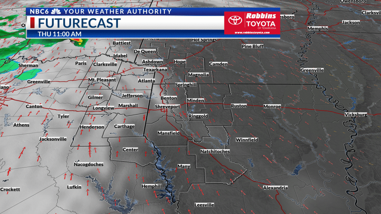
We are expecting another cold front will roll across the ArkLaTex this afternoon and evening. Ahead of the front, we may see an isolated rain shower mainly north of I-30 in Texas or Oklahoma. This would include Franklin, Titus, Red River, and McCurtain counties. If any rain managed to reach the ground it would only result in trace accumulations. Given the dry air in place in all areas, we should continue to see lots of sun today, with the front bringing partly cloudy skies at times.
It will be another wonderful weather day Friday. After starting out in the 50s, highs will wind up in the low 80s under mostly sunny skies with low humidity.
We will start to feel some changes this weekend. Saturday a south wind off the Gulf will draw warm and humid air into the region ahead of our next cold front. We will likely stay dry Saturday with increasing clouds and highs in the mid to upper 80s.
Sunday will bring an increasing chance of rain and thunderstorms. We may start out Mother’s Day dry in some areas, but the front will eventually lead to rain and thunderstorms in all areas by the afternoon and evening. As of now the threat for severe weather looks low, but we may have a few ingredients for a strong storm or two to develop and bring some high wind or hail.
This cold front will stall across the region early next week. This will lead to multiple rounds of rain and thunderstorms Monday through Wednesday. The front may be far enough south Monday to keep some areas out of the rain early in the week, but as the front moves back north Tuesday widespread rain and thunderstorms will return Tuesday and Wednesday. Forecast models are in decent agreement that we will see the rain end Wednesday bringing drier conditions by the end of next week.
Given the multiple rounds of rain and storms, we are on the lookout for heavy rain. Accumulations will likely be in the 2 to 3-inch range in many areas, with isolated amounts exceeding 4 inches. The ‘bullseye’ of heaviest rain will shift around in future outlooks as we draw closer to Sunday, so check back for updates.


Get exclusive severe weather details on storms as they approach your area by downloading the Arklatex Weather Authority app now available in the App Store and Google Play
May 06, 2021 at 05:28PM
https://www.arklatexhomepage.com/weather/dry-for-a-few-more-days-rain-and-thunderstorms-return-this-weekend/
Dry for a few more days, rain and thunderstorms return this weekend - ArkLaTexHomepage
https://news.google.com/search?q=dry&hl=en-US&gl=US&ceid=US:en


No comments:
Post a Comment