
After spotty showers Monday and Tuesday, we will likely begin another extended dry streak in the region. Nothing more than clouds and at times gusty winds will take us through at least the next six days.
The pattern for the rest of the week will be “progressive,” or fast-moving. That means all of our weather patterns, from high pressure to low pressure, will be weak and only last for brief periods of time.
We’ll kick off Tuesday with plenty of sunshine and a little bit of a westerly breeze. Temperatures will start off in the mid-20s on the mainland and near 30 at the shore. Both of those are seasonable for this time of the year, though wind chills will be closer to 20.

Those who are homeless or seeking a warm place to sleep at night received a boost from donor…
High pressure will slide through the Deep South on Tuesday, where it will be awfully crisp down there.
For us, though, it’ll just mean the usual, Chapstick-worthy dry air. High temperatures will rise up into the mid-40s with the sun.

A Code Blue alert, intended to assist municipalities in protecting vulnerable citizens durin…
Clouds will be on the increase Tuesday evening. An Alberta Clipper system will pass through New England. It is fast moving, but it will also stay to our north. So, I believe we will be dry.
Temperatures will fall through the 30s during the evening. Overnight lows will be in the upper 20s well inland to the mid-30s at the shore.
A second piece of energy will move through the area Wednesday during the day. Despite the more favorable positioning for the system, I still believe we wind up dry, outside of isolated rain or snow showers from 10 a.m. to 6 p.m.
In fact, Wednesday will be pretty similar to Monday in that regard. Highs will be colder, in the upper 30s in most spots.
Add in the strong, northwest wind and it will feel below freezing for most of the day. Bundle up.

Wind chills for 4 p.m. Wednesday, according to the Global Forecast System, American, computer model.
By Wednesday evening, we’ll clear out quickly. Temperatures will drop below freezing after dark, even at the shore. Just like you blow on a bowl of soup to cool it down, the winds are blowing on that proverbial bowl of warmer soup in the bays and ocean to keep the mainland and shore temperatures roughly in line. Expect 20 to 25 degree readings for lows.
Winds will slacken as the sun comes back out Thursday. High pressure in the Deep South will again influence our pattern. We’ll get back in the 40s for highs.
A cold front will pass Friday. However, it won’t bring any precipitation and not be all that cold, either. All it will do is bring clouds Friday morning.
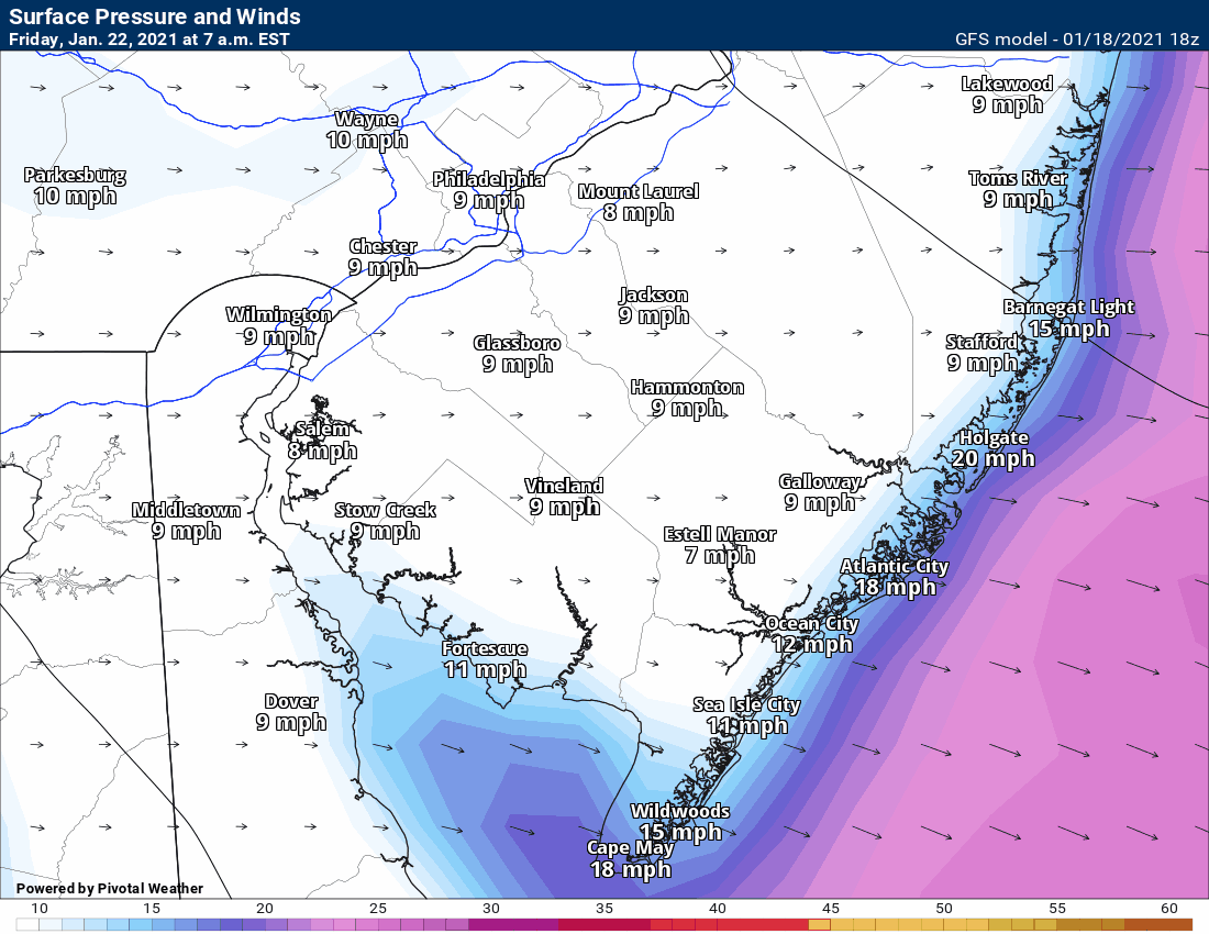
Then, that front, in conjunction with an incoming high pressure, will put us into a 36-hour period of gusty winds from Friday p.m. to Saturday evening. Winds will be 15-25 mph out of the northwest, with gusts in the 30s. No power outages will be expected, but take in any loose objects or garbage cans.
Forecasted sustained winds from the Global Forecast System, American, model.
The next storm I see on the horizon is next Tuesday.
Joe's 7-Day Forecast
Morning sun to clouds. Drizzle likely during the evening, with rain starting 11 p.m. to 1 a.m.

Mainland / Shore High: Low 50s / Around 50
Mainland / Shore Overnight Low: 40s for all
Rain until 7 to 9 a.m. Windy from the southeast early, but turning northwest for most of the day.

Mainland / Shore High: 40s in the morning, 30s in the afternoon
Mainland / Shore Overnight Low: Around 30 / Mid-30s
A mix of sun and clouds. A snow shower will not be ruled out at any point.

Mainland / Shore High: Mid-40s for all
Mainland / Shore Overnight Low: Upper 20s / Mid-30s
Mostly cloudy. Likely dry.

Mainland / Shore High: Low 40s for all
Mainland / Shore Overnight Low: Mid-20s / Upper 20s
More sun than clouds.

Mainland / Shore High: Low 40s for all
Mainland / Shore Overnight Low: Upper 20s / Mid-30s
A mix of sun, clouds

Mainland / Shore High: Mid-40s for all
Mainland / Shore Overnight Low: Mid-20s / Around 30
Monitoring a storm system.

Mainland / Shore High: 40s for all
Mainland / Shore Lows: Around 32 / Upper 30s
Support South Jersey journalism at The Press of Atlantic City
January 19, 2021 at 05:30PM
https://pressofatlanticcity.com/news/local/weather-full-sunshine-tuesday-returns-as-another-long-dry-streak-underway/article_3af81d7d-1983-5a81-995c-a496b610de1e.html
Weather: Full sunshine Tuesday returns as another long dry streak underway - Press of Atlantic City
https://news.google.com/search?q=dry&hl=en-US&gl=US&ceid=US:en


No comments:
Post a Comment